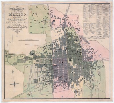
Mapping Mexican History: Territories in Dispute, Identities in Question focuses on three distinct moments when maps played an integral role in the transformation of Mexico and its political geography. In the sixteenth century, early colonial pictographic maps drawn by indigenous artists reflect the growth of Spanish colonial administration. These maps show how indigenous elites adapted pre-Hispanic visual traditions to Europeanized forms of documentation to record their histories and defend claims to land and power. In the eighteenth century, new maps of Mexico’s principal cities serve as both representations and instruments of the viceregal government’s efforts to re-order and regulate Mexican social life and public spaces. In the nineteenth century, maps are central to the military struggle for independence and the defense of contested national borders.