Mexican Sovereignty and Self-Determination
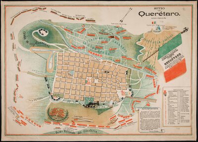
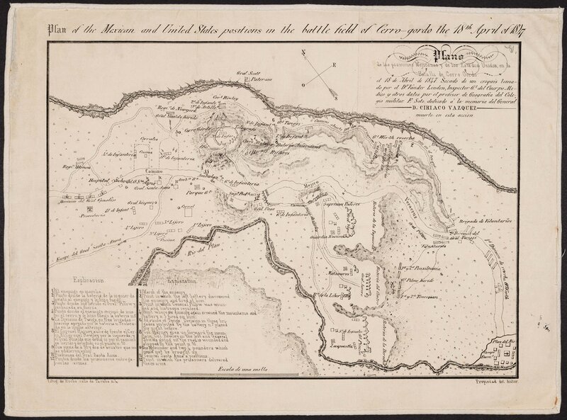
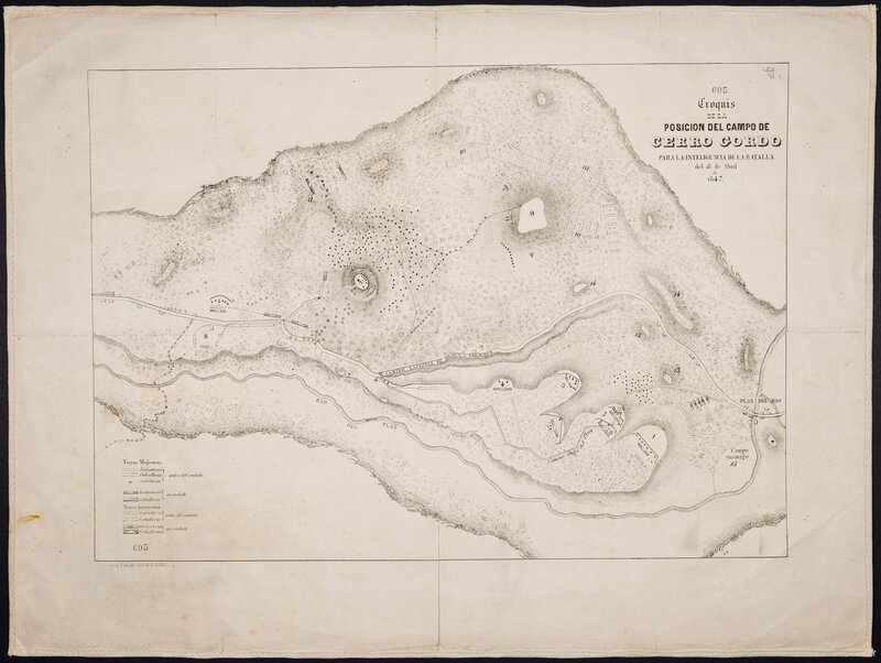
While depicting some of the same events as maps commissioned by the United States and French armies, maps commissioned by the Mexican government during the same period sometimes take advantage of their design to convey patriotic, nationalist narratives, as seen in “Sitio de Queretaro,” which uses the green and red color scheme of the Mexican flag to reinforce ideals of Mexican sovereignty. Other military maps of the era, like “Plano de las Posiciones Mejicanas y de los Estados Unidos, en la Batalla de Cerro Gordo el 18 de abril de 1847,” simply refer to U.S. troops as “enemigo,” or enemy, implying that any foreign troops on Mexican territory were a violation of Mexican sovereignty.

“Congreso General Mejicano” depicts Mexican territorial claims as of 1851, including showing the United States in possession of much of what is now Texas, but predating the Gadsden Purchase of 1854. In an area of northern Sonora that would be ceded to the U.S. a few years later, a site is marked as the location of “Ruinas de las segundas casas de los Aztecas,” or “Ruins of the Aztec’s second houses,” located directly on the then-current U.S.-Mexico border. While likely having some basis in historical truth, this also hints at Mexico’s territorial claims over territories once inhabited by the Aztec.