Skip to search
Skip to main content
Skip to first result
A New Spain - UT Libraries Exhibits
About
Help
Contact
English
Español
Sign in
A New Spain
1521-1821
Home
Curated Features
Indigenous Worldviews
Transoceanic Crusades
Invasion of Mexico
Spiritual Conquest
Printed Weapons
Exploitation of Indigenous People
Financing an Empire
Spatial Colonization
Colonizing Tenochtitlán
The Power of Indigenous Blood
Illustrating Nobility
Mexico's North Star
Marking the Landscape
Intricate Interiors
The Lettered City
Northern Borderlands
Enforcing the Status Quo
A New Mexico
Browse
About
Search in
Everything
Title
Creator/Contributor
Date Created/Date Issued
Owning Repository
Type
search for
Search
Search
Home
Search Results
Search
Search Constraints
Start Over
You searched for:
Place Name
Mexico
✖
Remove constraint Place Name: Mexico
Type
Cartographic / Cartográfico
✖
Remove constraint Type: Cartographic / Cartográfico
1
-
26
of
26
Sort
by Date Created/Date Issued
Relevance
Title
Creator
Date Created/Date Issued
Number of results to display per page
50
per page
per page
10
per page
20
per page
50
per page
100
per page
View results as:
List
List
Gallery
Masonry
Search Results
1.
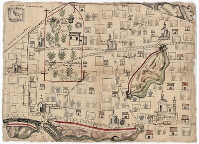
Painting of Misquiahuala and Atengo
2.
Painting of Quatlatlauca
3.
Painting of Amoltepec
4.
Painting of Cempoala
5.
Pintura de Teozacoalco
6.
Painting of Guaxtepec
7.
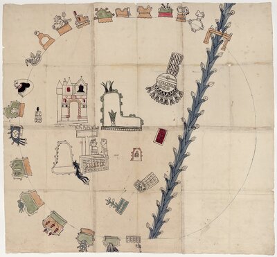
Pintura de Epazoyuca
8.
Pintura de Acapistla
9.
Pintura de Cholula
10.
Pintura de Tistla y Muchitlan
11.
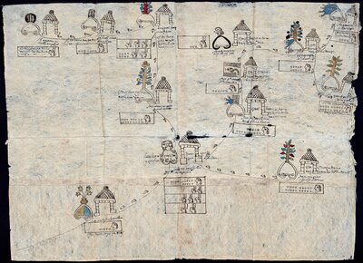
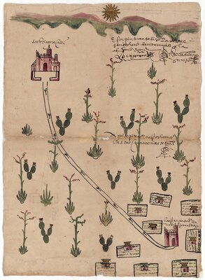
Mapa del distrito de Tepexic de la Seda
12.
Mapa de los alrededores de Santiago Tecali y Tepexi de la Seda
13.
Mapa de Santiago Tecali y sus alrededores
14.
"Demostración geométrica de un sitio de ganado mayor"
15.
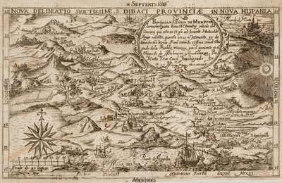
"Nova delineatio serictissimae San Didaci Provinciae in Nova Hispania"
16.
"A New & Accurate Map of Mexico or New Spain together with California New Mexico"
17.
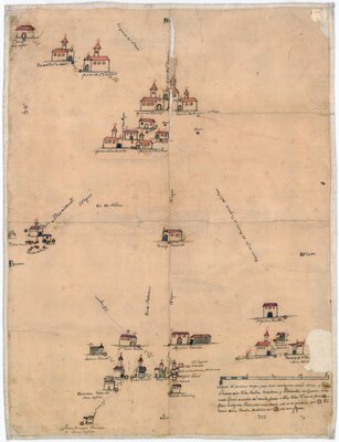
Pueblos, misiones y haciendas al sur del Río Grande
18.
"La nobilísima, y muy leal Ciudad de los Ángeles"
19.
"Plano de la Nueva España"
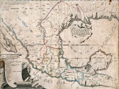
20.
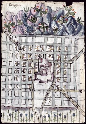
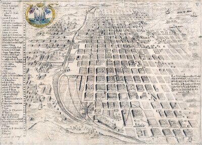
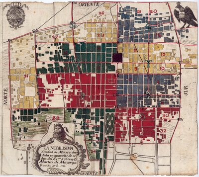
"La Nobilísima Ciudad de México dividida en cuarteles"
21.
"Mapa que manifestó la Laguna de Yurira e Isla Liceaga ganada a los Insurgentes"
22.
"Fuerte de Barrabas"
23.
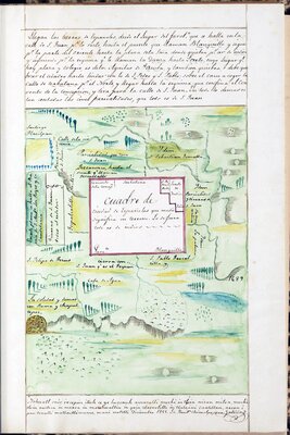
"Cuadro de ciudad de españoles"
24.
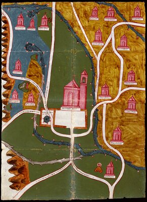
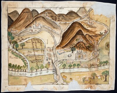
"Mapa de la Villa Insigne y Real Colegiata del Santuario de Santa María de Guadalupe"
25.
Mapa dibujado a mano en color del complejo religioso del santuario de la Virgen de Guadalupe y sus alrededores
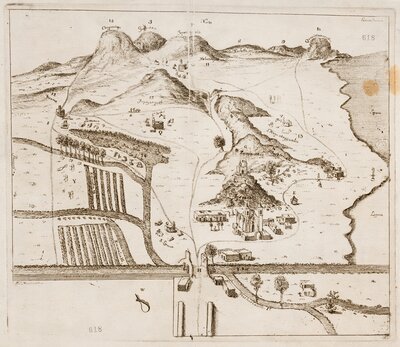
26.
Perspectiva del complejo religioso del santuario de la Virgen de Guadalupe y sus alrededores